
I started with the some shots during the day.

Plane drops fire retardant on Western flank of Station Fire - Friday, 8/28/09 2:15PM
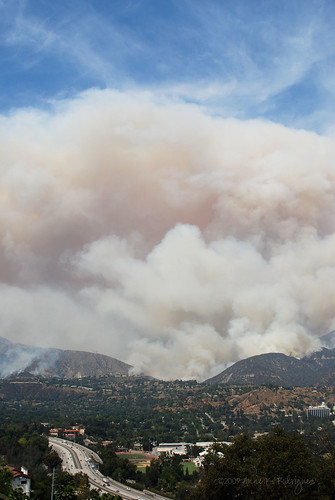
View of the Western flank of the fire. 210 Freeway in the foreground. Friday, 8/28/09 2:15PM
The smoke could be seen for miles. It was frightening, but we were completely awestruck.
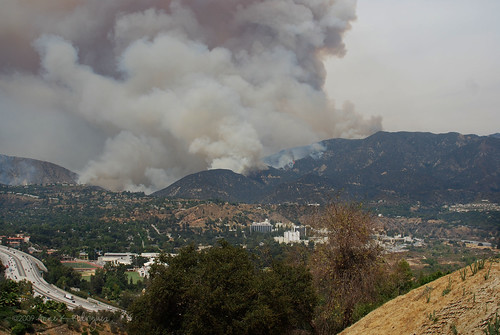
Friday, 8/28/09 2:15PM
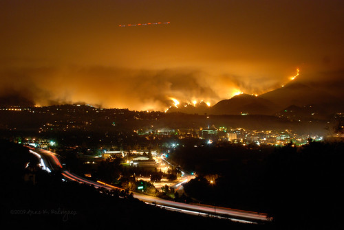
Friday, 8/28/09 10:25PM - 210 Freeway, La Canada High School & JPL
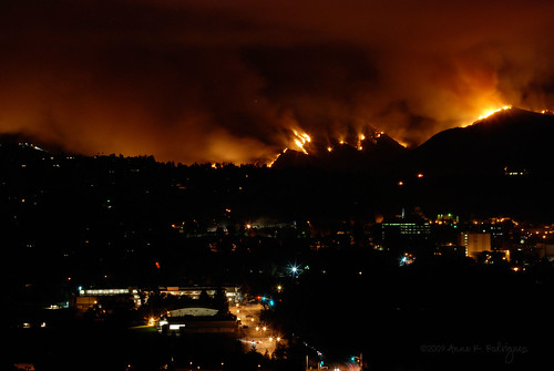
Friday, 8/28/09 10:25PM - La Canada High School & JPL
In the midst of watching it the hillsides burn, I couldn't help but feel sick to my stomach and saddened. The very same hills and forests that were on fire were the exact ones that had become our playground over the last couple of years. It's hard to believe that we wouldn't be taking any photos like this for a long while.

JPL trail on the way to Brown Mountain - Angeles National Forest - 2005

Angeles National Forest - July 2008
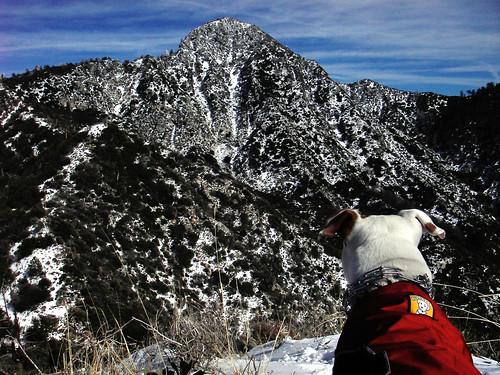
Dottie on Strawberry Peak gazing at Josephine's Peak -
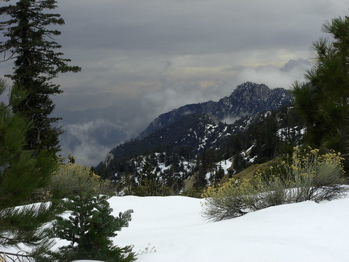
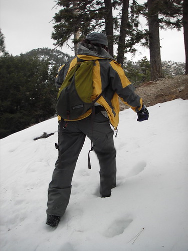
Angeles National Forest - Feb 2009 -photo by Rob
Angeles National Forest - Feb 2009 -photo by Rob
Angeles National Forest - Feb 2009 -photo by Rob
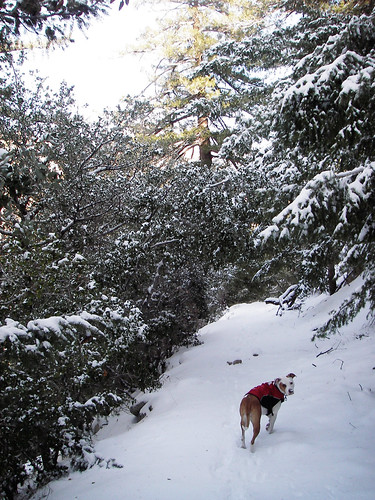
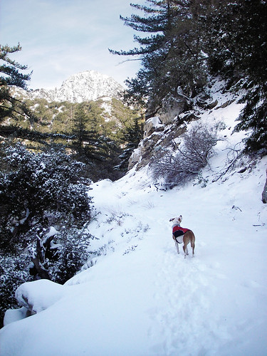
Angeles National Forest - January 2009
Angeles National Forest - January 2009
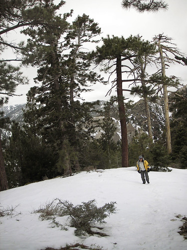
Angeles National Forest - January 2009
All of the landscapes and natural areas featured in the above photos were destroyed by the Station Fire.


1 more coherent thought(s):
Even on the map, it still looks close to you guys. That's so scary that those are the same mountains you hiked. The whole thing is really sad. Glad you guys were out of harms way.
Post a Comment